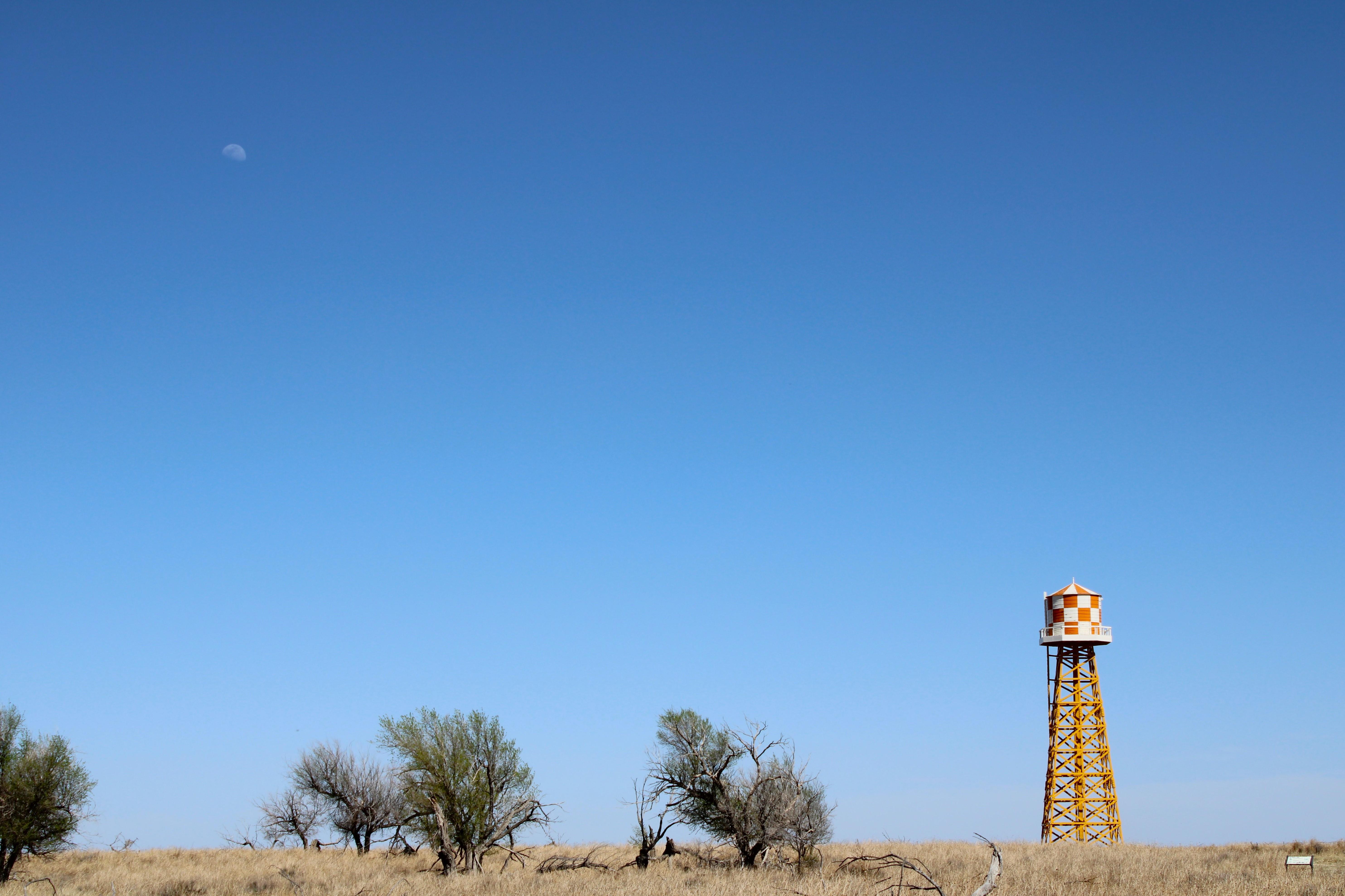
The water tower at Amache was a landmark that could be seen from miles.
Amache National Historic Site
National Historic Site · CO
Amache, also known as the Granada Relocation Center, near Granada, Colorado was one of ten incarceration sites established by the War Relocation Authority during World War II to unjustly incarcerate Japanese Americans. Over 10,000 people, most American citizens, were incarcerated at Amache from 1942 to 1945.
Park report
Alert: Information
How this is rated
Poor: closures/hazards · Fair: cautions/noticesNo Visitor Center
Alert: Information
How this is rated
Poor: closures/hazards · Fair: cautions/noticesLimited Cell Phone Coverage
Entrance Fee
How this is rated
Good: free entryFree — no entrance fee
Activities Available
How this is rated
Good: many activities available3 activities
Park Name
InfoAmache National Historic Site
Designation
InfoNational Historic Site
State(s)
InfoCO
Phone
Info719-936-7600
Amache_visitor_information@nps.gov
Operating Hours
InfoThe site is currently open to the public with limited hours and services. The site currently consists of a cemetery, a monument, building foundations, and landscaping. Interpretive panels and a downloadable self-guided auto tour are available on amache.org to assist with navigation of the site. There is no visitor center at the site.
Campgrounds
InfoNo campgrounds listed
Themes & Topics
InfoAsian American Heritage, Burial, Cemetery and Gravesite, Farming and Agriculture + 6 more
Weather Info
InfoThe site is located in Colorado on the High Plains, an arid, windy, and sunny environment. Temperatures and conditions can be extreme in this region, with hot, arid summers that include occasional thu
Getting There
InfoAmache National Historic Site is in southeastern Colorado about 1.5 miles west of the town of Granada, 17.5 miles east of Lamar, and half an hour drive from the Kansas border. The site is located off
Location
Info38.0496° N, -102.3290° W
Data from official federal recreation records. Updated periodically. Park conditions change — always verify with the park before visiting. Verify on official park website