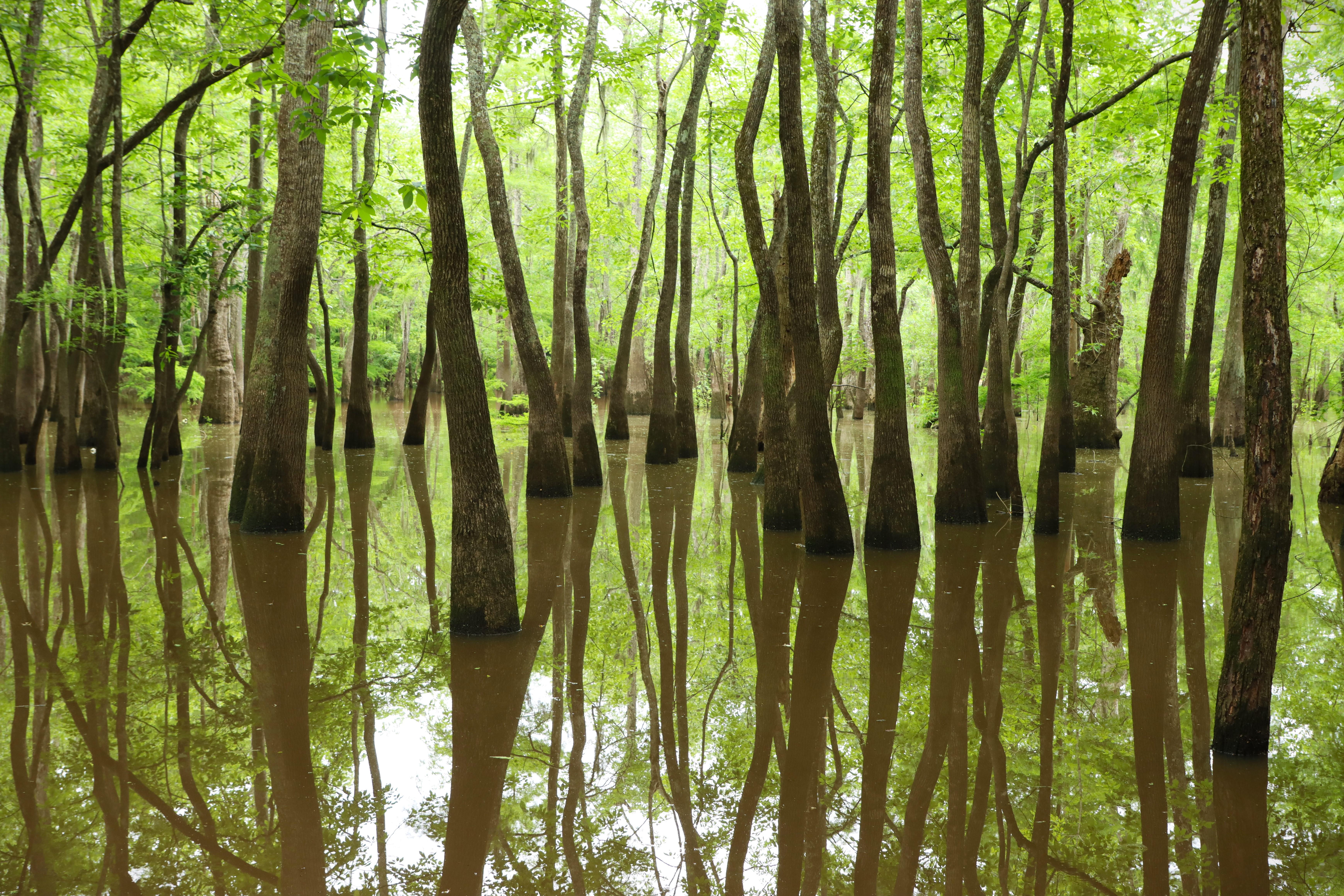
Explore the woods near the Edgewater Day-Use Area to find a scenic cypress-tupelo slough
Big Thicket National Preserve
National Preserve · TX
Life of all types abounds in the Big Thicket. This national preserve protects the incredible diversity of life found where multiple habitats meet in southeast Texas. Hiking trails and waterways meander through nine different ecosystems, from longleaf pine forests to cypress-lined bayous. It is a place of discovery, a place to wander and explore, a place to marvel at the richness of nature.
Park report
Alert: Park Closure
How this is rated
Poor: closures/hazards · Fair: cautions/noticesPitcher Plant Trailhead Closure Oct 31
Alert: Caution
How this is rated
Poor: closures/hazards · Fair: cautions/noticesHunting Season Underway: Oct 1 to Feb 28
Entrance Fee
How this is rated
Good: free entryFree — no entrance fee
Visitor Centers
Good1 visitor center
Activities Available
How this is rated
Good: many activities available24 activities
Park Name
InfoBig Thicket National Preserve
Designation
InfoNational Preserve
State(s)
InfoTX
Phone
Info409-951-6700
bith_information@nps.gov
Operating Hours
InfoBig Thicket National Preserve is open 24 hours. To camp in the preserve, you need a backcountry camping permit, available from the visitor center.
Campgrounds
InfoNo campgrounds listed
Visitor Center: Big Thicket Visitor Center
InfoSee park for hours
Themes & Topics
InfoBurial, Cemetery and Gravesite, Industry, Mining + 18 more
Weather Info
InfoSPRING: Expect comfortable weather in Mar/Apr, with heat & humidity increasing in May. SUMMER: High heat, high humidity, and thunderstorms are common. Hurricane & tropical storm activity peaks in late
Getting There
InfoThe main corridor through the Big Thicket is US Hwy 69/287 between Beaumont and Woodville. Many smaller roads and highways branch off of the main corridor to reach trailheads and scenic areas. The vis
Location
Info30.4580° N, -94.3867° W
Data from official federal recreation records. Updated periodically. Park conditions change — always verify with the park before visiting. Verify on official park website