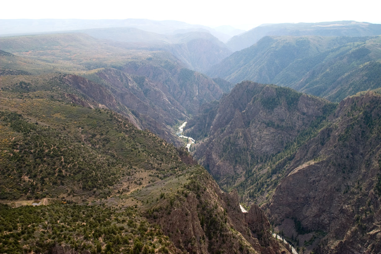
Black Canyon near Tomichi Point
Black Canyon Of The Gunnison National Park
National Park · CO
Big enough to be overwhelming, yet still intimate enough to feel the pulse of time. Come see some of the steepest cliffs, oldest rock, and craggiest spires in North America. Forces of nature and the Gunnison River sculpted this canyon over two million years. The result is a vertical wilderness of rock, water, and sky.
Park report
Fee: Entrance - Private Vehicle
How this is rated
Good: free · Fair: ≤$20 · Low: >$20$30
Fee: Entrance - Motorcycle
How this is rated
Good: free · Fair: ≤$20 · Low: >$20$25
Alert: Caution
How this is rated
Poor: closures/hazards · Fair: cautions/noticesNo Water Available in Park
Alert: Information
How this is rated
Poor: closures/hazards · Fair: cautions/noticesCashless Operations
Fee: Entrance - Per Person
How this is rated
Good: free · Fair: ≤$20 · Low: >$20$15
Campgrounds Available
How this is rated
Good: campgrounds available in this park3 campgrounds
Visitor Centers
Good2 visitor centers
Activities Available
How this is rated
Good: many activities available26 activities
Park Name
InfoBlack Canyon Of The Gunnison National Park
Designation
InfoNational Park
State(s)
InfoCO
Phone
Info970-641-2337
blca_info@nps.gov
Pass: Annual Entrance - Park
Info$55
Operating Hours
InfoThe South Rim is open 24 hours a day.
Visitor Center: South Rim Visitor Center
InfoSee park for hours
Visitor Center: North Rim Ranger Station
InfoSee park for hours
Themes & Topics
InfoExplorers and Expeditions, Transportation, Trains and Railroads + 15 more
Weather Info
InfoToday's Weather: http://www.weather.com/weather/today/l/NPBLCA:13:US CLIMATE Weather can vary greatly throughout the day. Summer daytime temperatures range between 55 to 90F (13 to 32C), nights 45 to
Getting There
InfoSouth Rim: 7 miles north on CO Highway 347 from the intersection with U.S. Highway 50 east of Montrose. Physical/GPS address is: 9800 Highway 347, Montrose, CO 81401 North Rim: 11 miles southwest of C
Location
Info38.5778° N, -107.7243° W
Data from official federal recreation records. Updated periodically. Park conditions change — always verify with the park before visiting. Verify on official park website