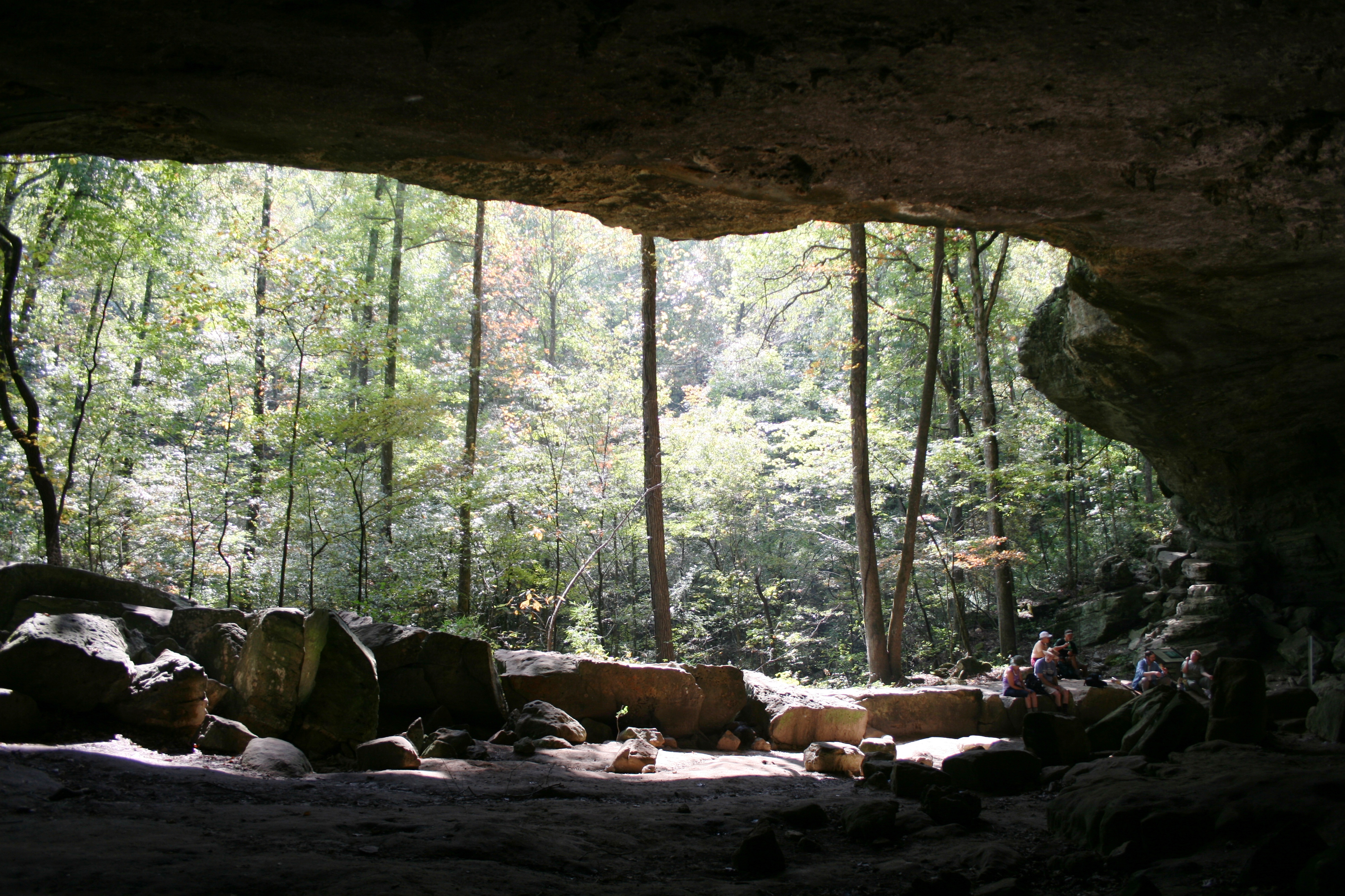
Every year thousands of people hike to the Indian Rockhouse to admire this large bluff shelter.
Buffalo National River
National River · AR
Established in 1972, Buffalo National River flows freely for 135 miles and is one of the few remaining undammed rivers in the lower 48 states. Once you arrive, prepare to journey from running rapids to quiet pools while surrounded by massive bluffs as you cruise through the Ozark Mountains down to the White River.
Park report
Alert: Park Closure
How this is rated
Poor: closures/hazards · Fair: cautions/noticesTyler Bend Pavilion Closure
Alert: Park Closure
How this is rated
Poor: closures/hazards · Fair: cautions/noticesSouth Woolum Road Closed, Alternate Route Available
Alert: Information
How this is rated
Poor: closures/hazards · Fair: cautions/noticesReservations Only at Kyles Landing and Erbie - Starting September 1, 2026
Entrance Fee
How this is rated
Good: free entryFree — no entrance fee
Campgrounds Available
How this is rated
Good: campgrounds available in this park11 campgrounds
Visitor Centers
Good3 visitor centers
Activities Available
How this is rated
Good: many activities available27 activities
Park Name
InfoBuffalo National River
Designation
InfoNational River
State(s)
InfoAR
Phone
Info8704392502
buff_information@nps.gov
Operating Hours
InfoBuffalo National River is 135 miles long. The park is open 24 hours.
Visitor Center: Buffalo Point Visitor Contact Station
InfoSee park for hours
Visitor Center: Steel Creek Ranger Station
InfoSee park for hours
Visitor Center: Tyler Bend Visitor Center
InfoSee park for hours
Themes & Topics
InfoArcheology, Animals, Birds + 7 more
Weather Info
InfoSummer in the Ozarks can be very hot and humid. Please check the weather forecast prior to your arrival and plan accordingly. The weather the rest of the year has the potential to be wet and cool or d
Getting There
InfoBuffalo National River is a long, narrow park that is crossed by three main highways. Highways 7, 43, and 62/65 are the main roads out of Harrison, Arkansas that will take you to the Buffalo River, de
Location
Info36.0412° N, -92.9076° W
Data from official federal recreation records. Updated periodically. Park conditions change — always verify with the park before visiting. Verify on official park website