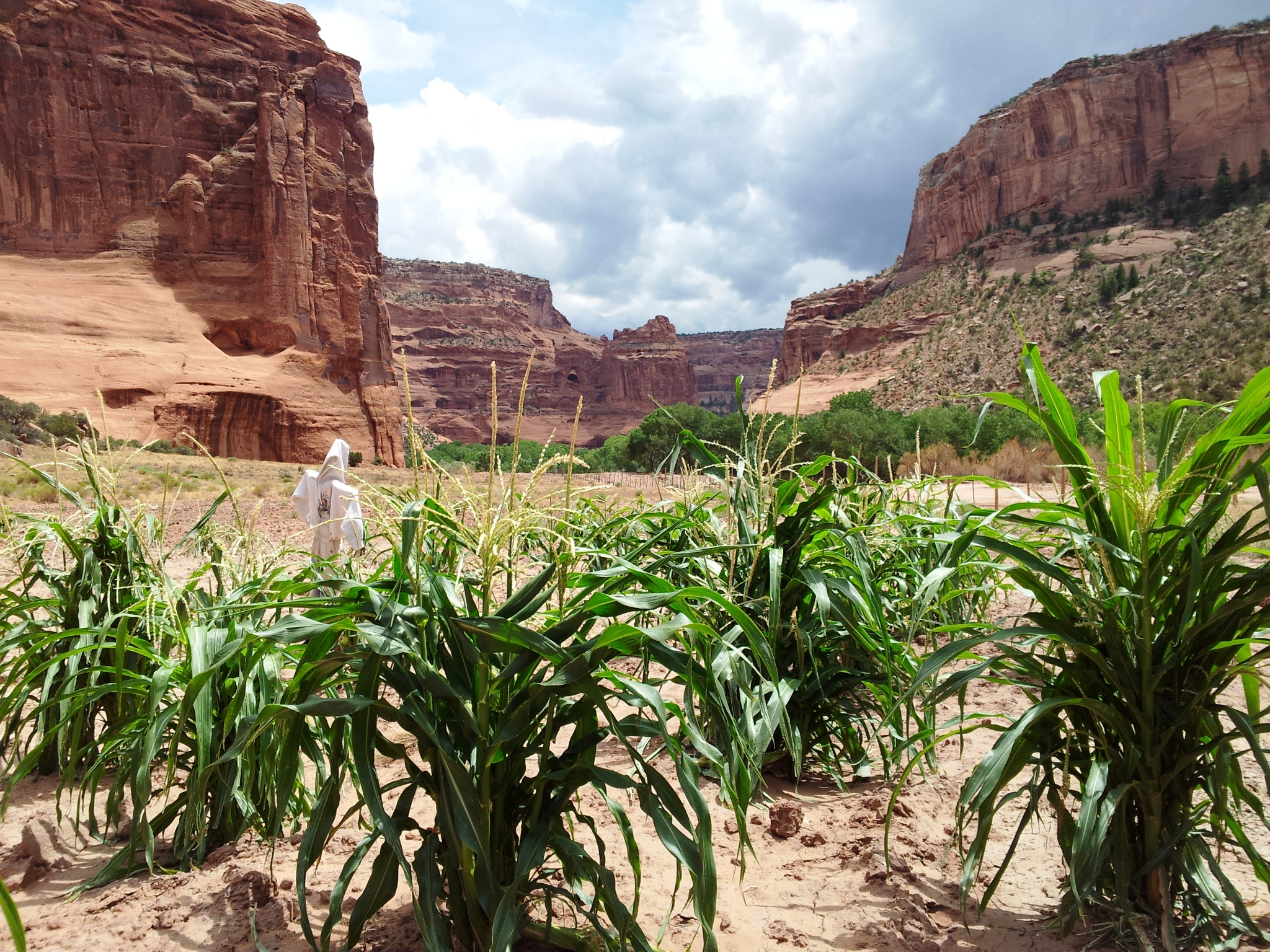
Navajo families continue to live and farm in the canyon they call Tsegi
Canyon de Chelly National Monument
National Monument · AZ
This canyon is home to Diné families who raise livestock, grow crops and live here. People have lived in these canyons for nearly 5,000 years, which is longer than anyone has lived continuously on the Colorado Plateau. In this place called Tsegi, their homes and images tell us their stories. Today, the park and Navajo Nation work together to manage the rich cultural and natural resources.
Park report
Alert: Information
How this is rated
Poor: closures/hazards · Fair: cautions/noticesRoute 7 from Sawmill, AZ is NOT recommended
Alert: Caution
How this is rated
Poor: closures/hazards · Fair: cautions/noticesWeather Advisory and Storm Warnings
Entrance Fee
How this is rated
Good: free entryFree — no entrance fee
Visitor Centers
Good1 visitor center
Activities Available
How this is rated
Good: many activities available8 activities
Park Name
InfoCanyon de Chelly National Monument
Designation
InfoNational Monument
State(s)
InfoAZ
Phone
Info9286745500
cach_interpretation@nps.gov
Operating Hours
InfoNorth Rim Drive, South Rim Drive, 9 overlooks open daily all year round. The Welcome Center is open daily from 8AM to 5PM and closed for Thanksgiving, Christmas, and New Years Day. Welcome Center gates open and close daily with regular business hours. No entrance fee for park.
Campgrounds
InfoNo campgrounds listed
Visitor Center: Visitor Center
InfoSee park for hours
Themes & Topics
InfoArcheology, Cliff Dwellings, Native American Heritage
Weather Info
InfoCanyon de Chelly's elevation is about 5,500 feet. Spring is cool and windy; highs from 50 to 70; lows of 35 degrees. Expect dust storms and canyon flooding. Summer is hot and dry; highs from 85 to 100
Getting There
InfoRecommended route to park is taking Highway 191 from Chinle, AZ, then East on Route 7. Park entrance and Welcome Center is less than 3 miles from HWY 191. Alternative route to park is from the East vi
Location
Info36.1432° N, -109.3388° W
Data from official federal recreation records. Updated periodically. Park conditions change — always verify with the park before visiting. Verify on official park website