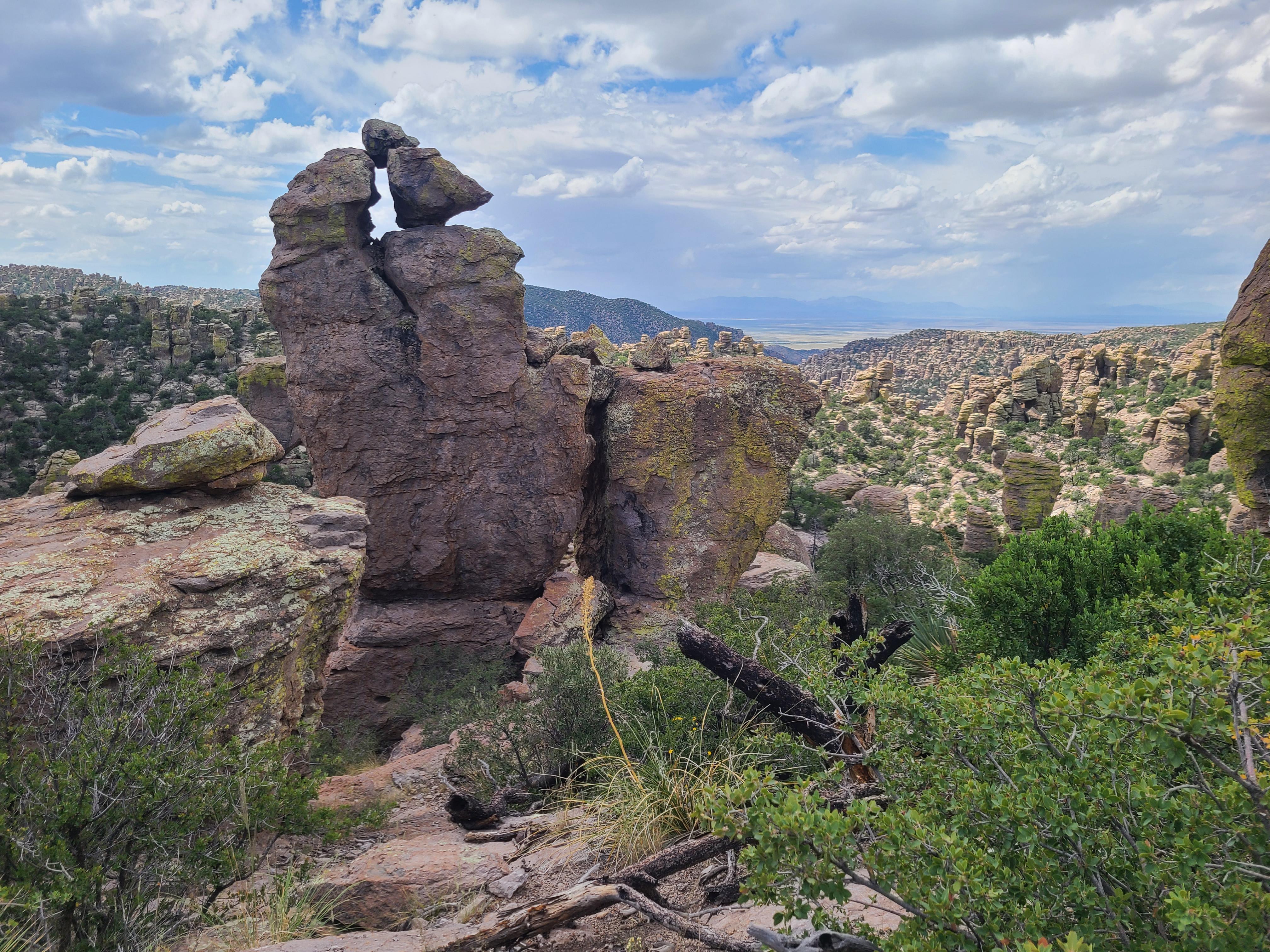
Massai Point offers excellent views of the standing rocks at Chiricahua
Chiricahua National Park
National Park · AZ
Explore rhyolite pinnacles and balanced rocks on foot or by car. Relax at the campground under star-filled, dark skies. See how a mountain range rising between two deserts creates a home for diverse wildlife. Imagine history here. Prehistoric peoples, Apaches, Buffalo Soldiers, Civilian Conservation Corps, ranchers, and homesteaders inhabited Chiricahua.
Park report
Alert: Information
How this is rated
Poor: closures/hazards · Fair: cautions/noticesVehicle Length & Trailer Restrictions
Entrance Fee
How this is rated
Good: free entryFree — no entrance fee
Campgrounds Available
How this is rated
Good: campgrounds available in this park1 campground
Visitor Centers
Good1 visitor center
Activities Available
How this is rated
Good: many activities available16 activities
Park Name
InfoChiricahua National Park
Designation
InfoNational Park
State(s)
InfoAZ
Phone
Info5208243560
chir_info@nps.gov
Operating Hours
InfoThe road, campground, and facilities in the park are open overnight. Gates on the road will not be closed during overnight hours unless an emergency occurs. The park prohibits overnight parking, sleeping in vehicles, and camping outside the campground. The trails stay open for sunrise, sunset, and night sky viewing. Be aware of wildlife and use extreme caution.
Visitor Center: Visitor Center
InfoSee park for hours
Themes & Topics
InfoFarming and Agriculture, Ranches, Wars and Conflicts + 10 more
Weather Info
InfoThe park elevation goes from 5,124 feet at the entrance to 7,310 feet on Sugarloaf Mountain. The top of the park can be 5-10 degrees cooler and windier than the visitor center and entrance. The higher
Getting There
InfoChiricahua National Park is in the southeast corner of Arizona. Interstate I10 from LA or Tucson to El Paso or Lordsburg runs about 40 miles north of the park. Exits in Willcox to Hwy 186 are the most
Location
Info32.0121° N, -109.3416° W
Data from official federal recreation records. Updated periodically. Park conditions change — always verify with the park before visiting. Verify on official park website