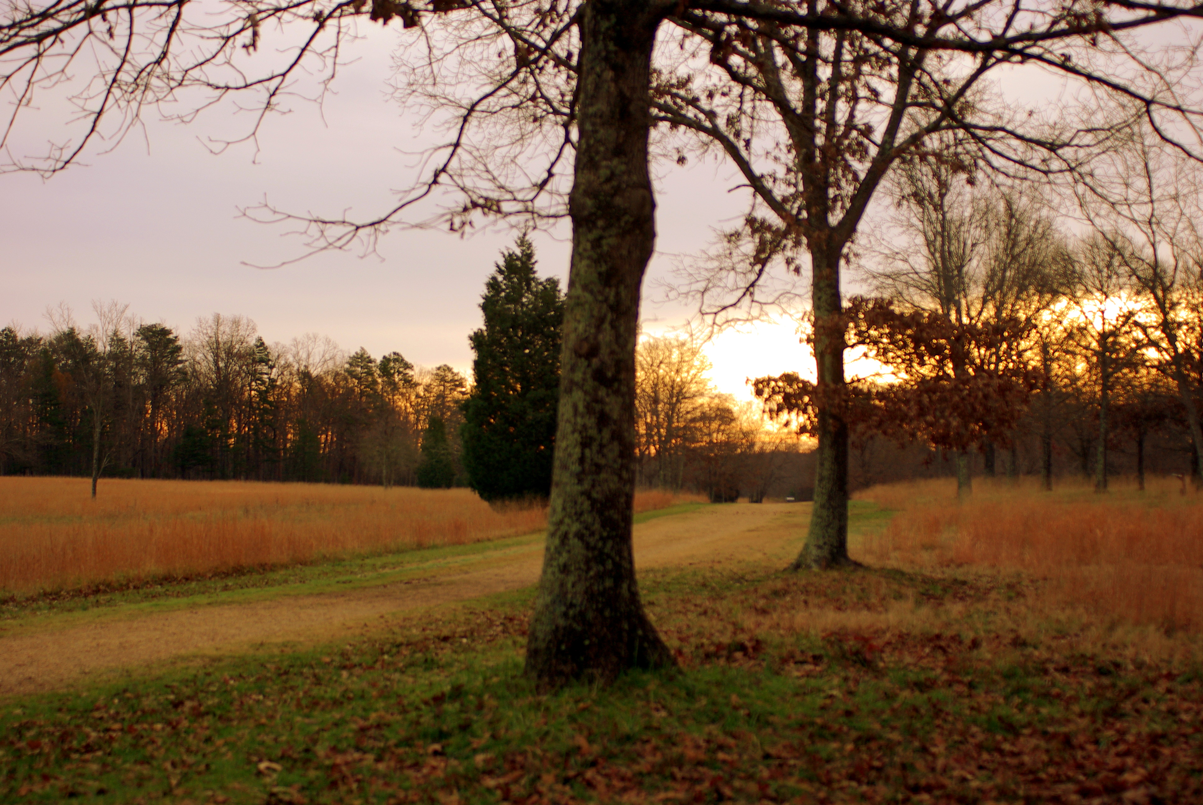
Sunrise on Green River Road
Cowpens National Battlefield
National Battlefield · SC
A pasturing area at the time of the battle, this Revolutionary War site commemorates the place where Daniel Morgan and his army turned the flanks of Banastre Tarleton's British army. This classic military tactic, known as a double envelopment, secured a patriot victory.
Park report
Alert: Caution
How this is rated
Poor: closures/hazards · Fair: cautions/noticesHazardous Conditions on Trails
Entrance Fee
How this is rated
Good: free entryFree — no entrance fee
Visitor Centers
Good1 visitor center
Activities Available
How this is rated
Good: many activities available11 activities
Park Name
InfoCowpens National Battlefield
Designation
InfoNational Battlefield
State(s)
InfoSC
Phone
Info8644612828
COWP_information@nps.gov
Operating Hours
InfoThe visitor center parking lot is open 9:00 am - 5:00 pm. The front gate closes at 5:00 pm. Loop Road closes at 4:30 pm. After hours parking is located 1 mile east at the intersection of Hwy 11 and Hayes Road and is open dawn to dusk. Visitor Center is open Wed - Sunday 9 - 5.
Campgrounds
InfoNo campgrounds listed
Visitor Center: Cowpens National Battlefield
InfoSee park for hours
Activity: Biking
InfoAvailable
Activity: Road Biking
InfoAvailable
Activity: Food
InfoAvailable
Activity: Picnicking
InfoAvailable
Activity: Guided Tours
InfoAvailable
Activity: Self-Guided Tours - Walking
InfoAvailable
Activity: Self-Guided Tours - Auto
InfoAvailable
Activity: Living History
InfoAvailable
Activity: Junior Ranger Program
InfoAvailable
Activity: Park Film
InfoAvailable
Activity: Museum Exhibits
InfoAvailable
Theme: American Revolution
InfoFeatured at this park
Theme: Military
InfoFeatured at this park
Theme: Battlefields
InfoFeatured at this park
Theme: Wars and Conflicts
InfoFeatured at this park
Theme: American Revolutionary War
InfoFeatured at this park
Weather Info
InfoTemperatures for the area range from very hot and humid in the summer to cool and moderate in the winter. http://forecast.weather.gov/MapClick.php?lat=35.1346&lon=-81.7036#.VhkrZ-xVhBc
Getting There
InfoFrom I-85 S, take exit 83. Turn left on Hwy 110, approx. 8 miles. Turn right on Hwy 11. The park is about a half mile on the right. From I-85 N, take exit 92, turn right toward Chesnee on Hwy 11, appr
GPS Coordinates
Info35.1316° N, -81.8094° W
Data from official federal recreation records. Updated periodically. Park conditions change — always verify with the park before visiting. Verify on official park website