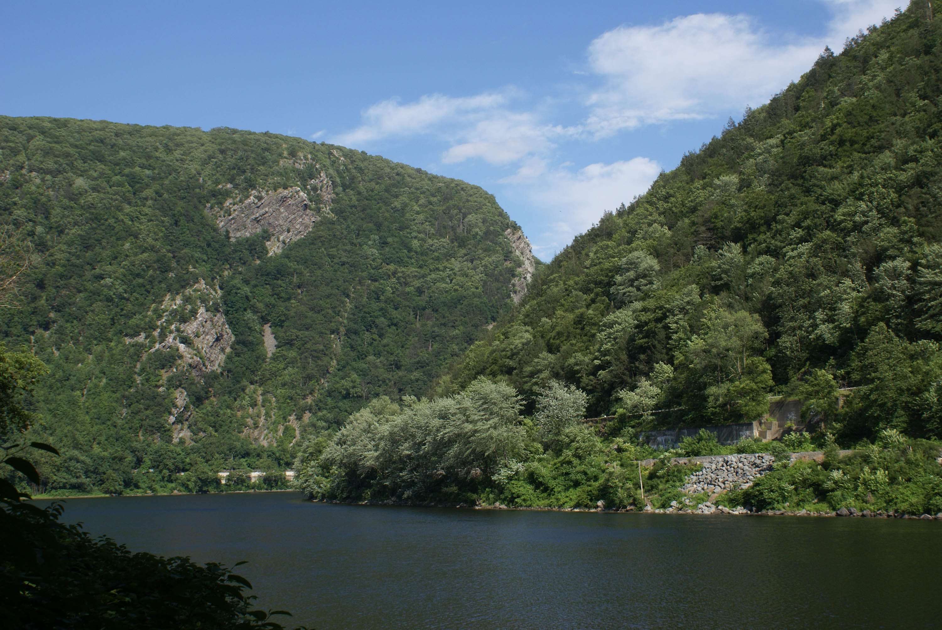
The Delaware Water Gap is the geologic formation that gives the park its name. This distinctive cut thru the Kittatinny ridgeline was made by the Delaware River over thousands of years.
Delaware Water Gap National Recreation Area
National Recreation Area · NJ, PA
Situated within the most densely populated region of the United States, Delaware Water Gap National Recreation Area provides a unique opportunity to experience tranquil landscapes, rich human history, and striking scenery along 40 miles of the longest free-flowing river east of the Mississippi. The park offers year-round recreation including hiking, paddling, fishing, and hunting.
Park report
Alert: Park Closure
How this is rated
Poor: closures/hazards · Fair: cautions/noticesDingmans Falls Trail, Road, and Access Closed for Bridge Replacement
Alert: Park Closure
How this is rated
Poor: closures/hazards · Fair: cautions/noticesOld Mine Road North Construction Closure Begins April 6, 2026
Alert: Information
How this is rated
Poor: closures/hazards · Fair: cautions/noticesMain Street Walpack Bridge Closed Until Further Notice
Fee: Entrance - Private Vehicle
How this is rated
Good: free · Fair: ≤$20 · Low: >$20$10
Campgrounds Available
How this is rated
Good: campgrounds available in this park6 campgrounds
Visitor Centers
Good2 visitor centers
Activities Available
How this is rated
Good: many activities available38 activities
Park Name
InfoDelaware Water Gap National Recreation Area
Designation
InfoNational Recreation Area
State(s)
InfoNJ, PA
Phone
Info5704262452
dewa_interpretation@nps.gov
Pass: Annual Entrance - Park
Info$45
Operating Hours
InfoPark roads are open 24-hours a day. Most day-use areas within the park are open sunrise to sunset (such as trailhead parking lots, Millbrook Village, and all picnic areas).
Visitor Center: Bushkill Meeting Center
InfoSee park for hours
Visitor Center: Kittatinny Point Visitor Center
InfoSee park for hours
Themes & Topics
InfoArchitecture and Building, Arts, Dams + 13 more
Weather Info
InfoSpring: Temperatures usually range from lows of 26 F to highs of 80 F with average rainfall of 5 inches. Summer: Temperatures usually range from lows of 55 F to highs of 85 F with average rainfall of
Getting There
InfoDelaware Water Gap National Recreation Area is a long, narrow park that sits between two major interstates, I-80 at the south and I-84 at the north. US 209 is the main north/south road through the par
Location
Info41.1279° N, -74.9475° W
Data from official federal recreation records. Updated periodically. Park conditions change — always verify with the park before visiting. Verify on official park website