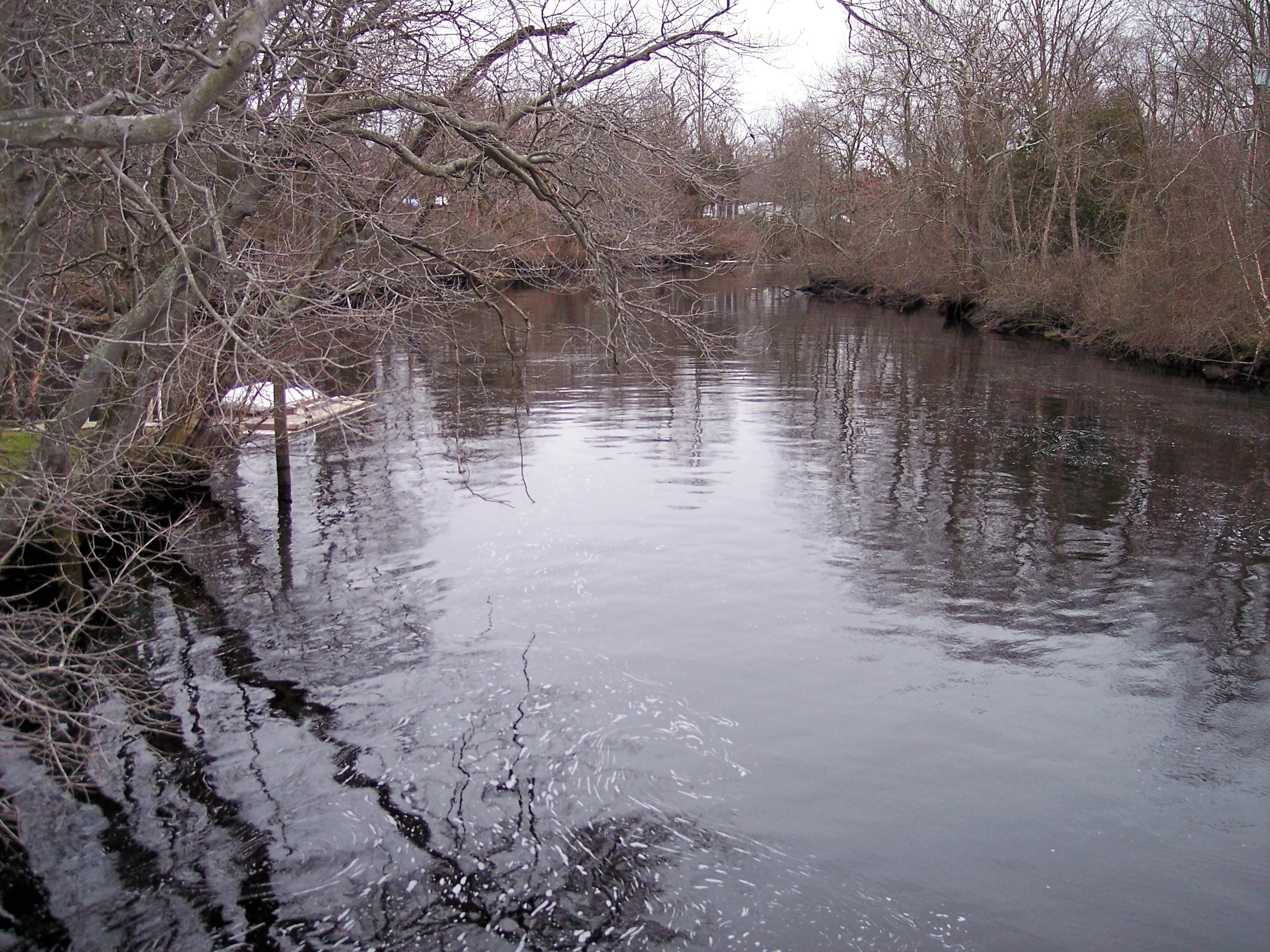
Great Egg Harbor River downstream from Mill Street (New Jersey Route 559) in Mays Landing, New Jersey
Great Egg Harbor River
· NJ
Both the harbor and river were named for the shorebird and waterfowl eggs covering their meadows. During the American Revolution, privateers hid here. Established as a National Park Service site in 1992, Great Egg Harbor National Wild and Scenic River is one of nation's best birding spots. Local jurisdictions administer its lands. The 129-mile river system flows through Pinelands National Reserve.
Park report
Current Alerts
How this is rated
Good: no active alerts or closuresNo active alerts
Entrance Fee
How this is rated
Good: free entryFree — no entrance fee
Activities Available
How this is rated
Good: many activities available24 activities
Park Name
InfoGreat Egg Harbor River
Designation
InfoNational Park Area
State(s)
InfoNJ
lambert_nicole@aclink.org
Operating Hours
InfoThe Great Egg Harbor River is a 55.0-mile-long (88.5 km) river in southern New Jersey in the United States. It is one of the major rivers that traverse the largely pristine Pinelands, draining 308 square miles (800 km2) of wetlands into the Atlantic Ocean at Great Egg Harbor, from which it takes its name. At river location in Estell Manor Park - please check (609) 625-1897 for hours.
Campgrounds
InfoNo campgrounds listed
Themes & Topics
InfoAnimals, Birds, Fish + 16 more
Weather Info
InfoTemperate, with a moderating influence of the Atlantic Ocean. NOAA Weather Seven-Day Forecast for Mays Landing, New Jersey: https://forecast.weather.gov/MapClick.php?lat=39.4521478&lon=-74.7275318 Tid
Getting There
InfoEstell Manor Park, where visitors can see the Great Egg Harbor National Scenic and Recreational River, is located 3.5 miles South of Mays Landing, New Jersey, off of Route 50. It is approximately 17 m
Location
Info39.3042° N, -74.6497° W
Data from official federal recreation records. Updated periodically. Park conditions change — always verify with the park before visiting. Verify on official park website