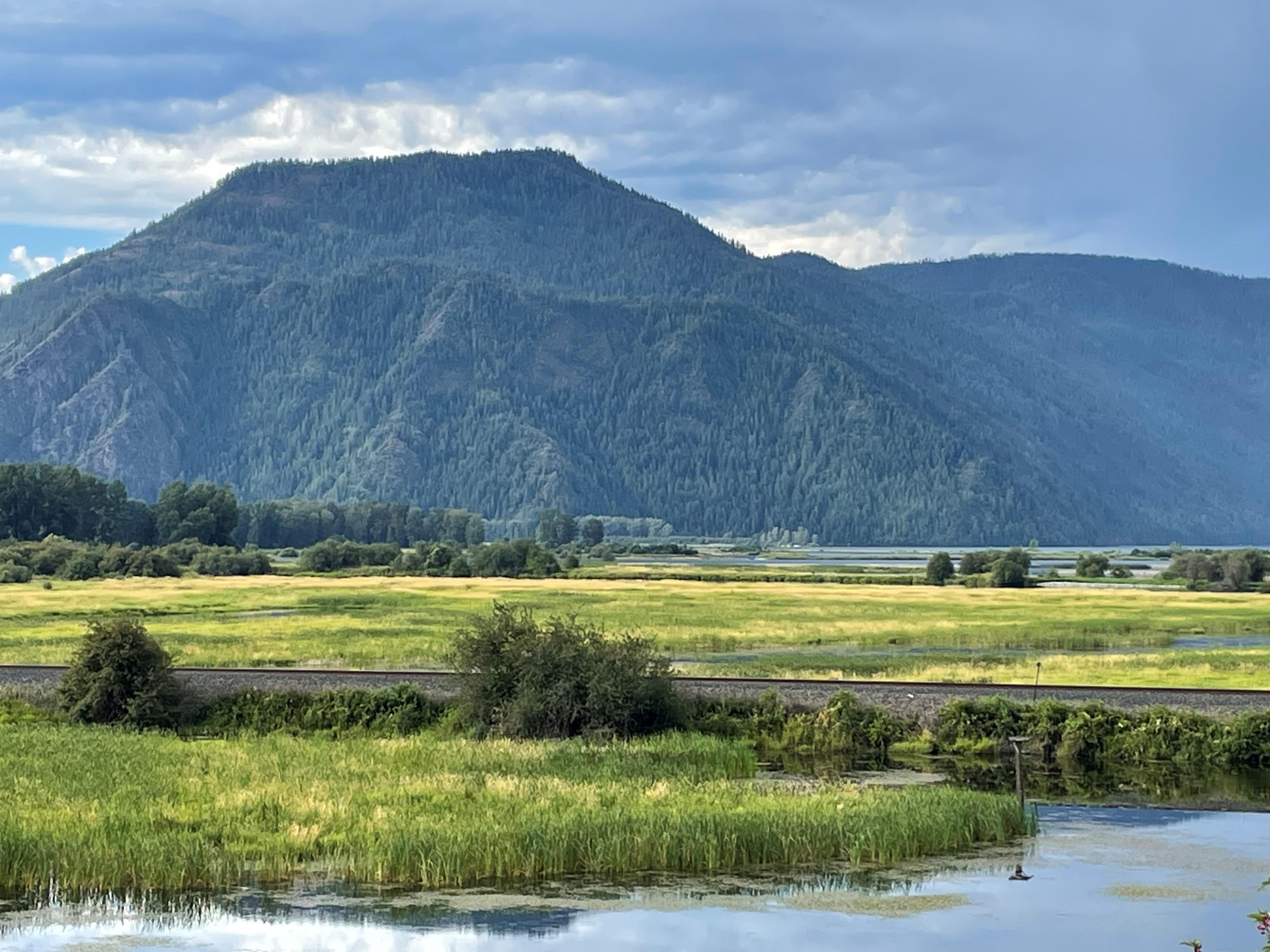
Green Monarch Ridge by Lake Pend Oreille ID
Ice Age Floods National Geologic Trail
National Geologic Trail · WA, OR, ID, MT
At the end of the last Ice Age, 18,000 to 15,000 years ago, an ice dam in northern Idaho created Glacial Lake Missoula stretching 3,000 square miles around Missoula, Montana. The dam burst and released flood waters across Washington, down the Columbia River into Oregon before reaching the Pacific Ocean. The Ice Age Floods forever changed the lives and landscape of the Pacific Northwest.
Park report
Current Alerts
How this is rated
Good: no active alerts or closuresNo active alerts
Entrance Fee
How this is rated
Good: free entryFree — no entrance fee
Activities Available
How this is rated
Good: many activities available4 activities
Park Name
InfoIce Age Floods National Geologic Trail
Designation
InfoNational Geologic Trail
State(s)
InfoWA, OR, ID, MT
Phone
Info(509) 237-9722
iafl_program_manager@nps.gov
Operating Hours
InfoThe Ice Age Floods National Geologic Trail is a collection of sites operated and owned by a variety of partners. , Hours of operation and season will vary from site to site. Please check each respective site for more details and information.
Campgrounds
InfoNo campgrounds listed
Activity: Guided Tours
InfoAvailable
Activity: Self-Guided Tours - Walking
InfoAvailable
Activity: Self-Guided Tours - Auto
InfoAvailable
Activity: Junior Ranger Program
InfoAvailable
Theme: Tragic Events
InfoFeatured at this park
Theme: Floods
InfoFeatured at this park
Theme: Geology
InfoFeatured at this park
Weather Info
InfoThe National Geologic Trail is a collection of sites stretched across a four state area, the weather will vary from site to site. Please check the weather for your local region, or the region you'll b
Getting There
InfoTo Trail Headquarters from Spokane Take I-90 West At Exit 277, merge onto US-2 toward Davenport/Fairchild AFB/Spokane Airport Just past Wilbur, turn right onto WA-21 Stay left onto Highway 174 Turn ri
GPS Coordinates
Info46.5669° N, -118.9926° W
Data from official federal recreation records. Updated periodically. Park conditions change — always verify with the park before visiting. Verify on official park website