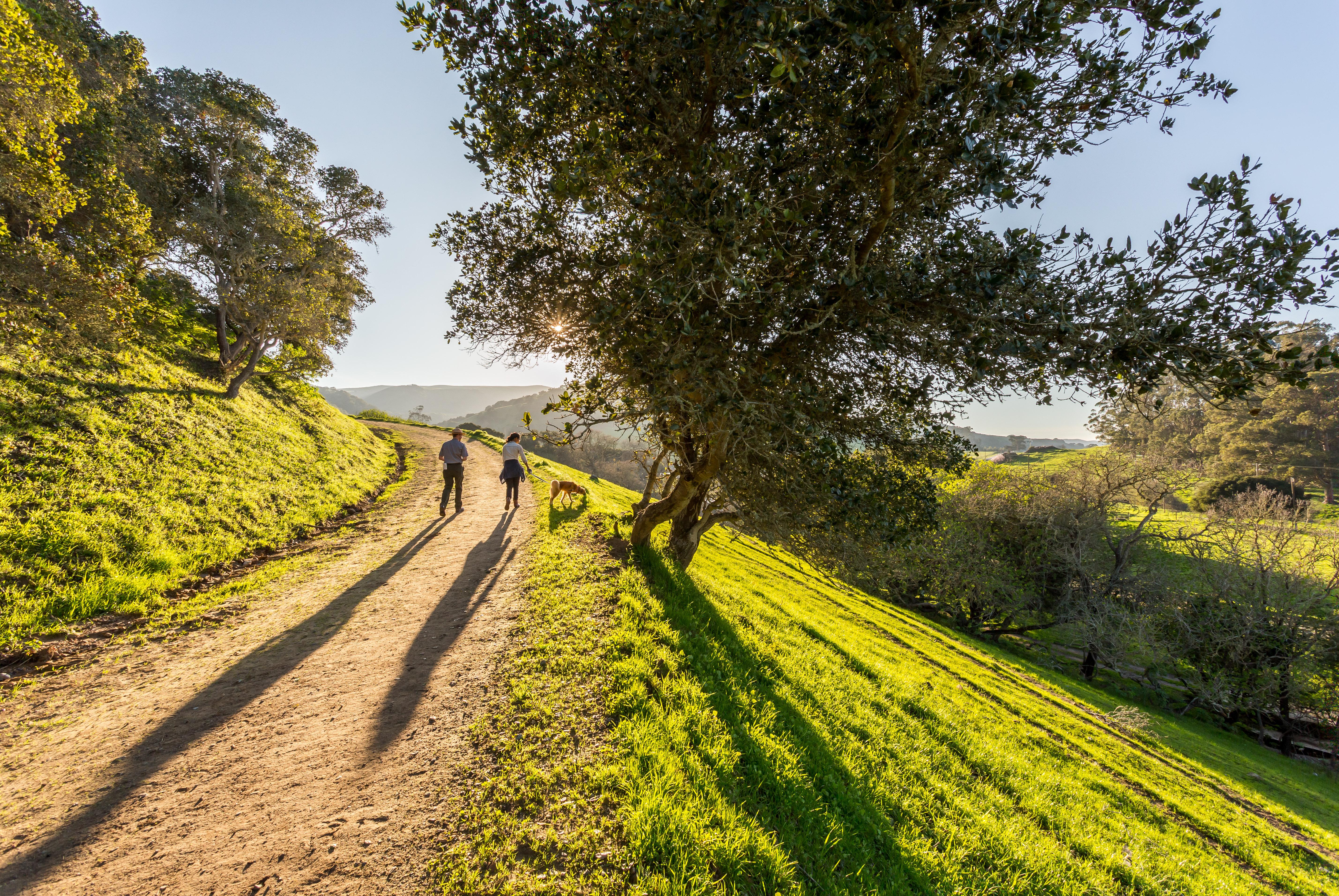
The Anza Trail in San Juan Bautista
Juan Bautista de Anza National Historic Trail
National Historic Trail · AZ, CA
The Juan Bautista de Anza National Historic Trail covers over 1200 miles through the homelands of 70+ Tribal communities. It follows the historic route of the 1775-76 Spanish colonizing expedition from Sonora, Mexico to San Francisco, CA. Whether urban or rural, the trail offers adventure, diverse cultural perspectives, and an opportunity to experience history.
Park report
Current Alerts
How this is rated
Good: no active alerts or closuresNo active alerts
Entrance Fee
How this is rated
Good: free entryFree — no entrance fee
Visitor Centers
Good8 visitor centers
Activities Available
How this is rated
Good: many activities available16 activities
Park Name
InfoJuan Bautista de Anza National Historic Trail
Designation
InfoNational Historic Trail
State(s)
InfoAZ, CA
Phone
Info(510) 232-5050
juba_info@nps.gov
Operating Hours
InfoHours listed are for the Richmond, California administrative office of the Anza Trail (admin office not currently open to public). The 1,200-mile Anza Trail connects historic, cultural, and recreation sites from Nogales, AZ, to the San Francisco Bay Area that reveal the legacy of our Spanish colonial heritage. To learn more, visit http://www.nps.gov/juba. Each site along the Anza Trail is managed independently. Contact individual sites for hours, directions, and other details.
Campgrounds
InfoNo campgrounds listed
Visitor Center: Santa Monica Mountains Anthony C. Beilenson Interagency Visitor Center
InfoSee park for hours
Visitor Center: William Penn Mott, Jr. Presidio Visitor Center
InfoSee park for hours
Visitor Center: Anza-Borrego Desert State Park Visitor Center
InfoSee park for hours
Themes & Topics
InfoColonization and Settlement, Explorers and Expeditions, Hispanic American Heritage + 6 more
Weather Info
InfoThe 1,200-mile Anza Trail connects historic, cultural, and recreation sites from Nogales, AZ, to the San Francisco Bay Area. To learn more, visit http://www.nps.gov/juba. Each site along the Anza Trai
Getting There
InfoDetails listed are for the Richmond, California administrative office of the Anza Trail (administrative office is not currently open to the public). The 1,210-mile Anza Trail connects historic, cultur
Location
Info33.8743° N, -117.2242° W
Data from official federal recreation records. Updated periodically. Park conditions change — always verify with the park before visiting. Verify on official park website