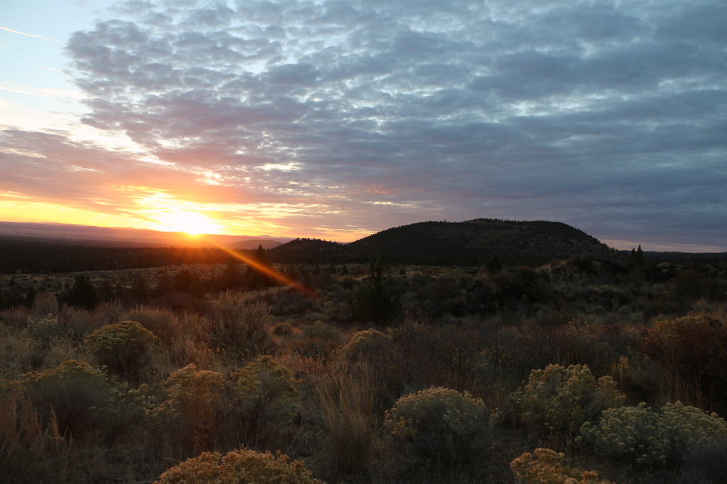
Sunrise at Lava Beds
Lava Beds National Monument
National Monument · CA
Lava Beds National Monument is a land of turmoil, both geological and historical. Over the last half-million years, volcanic eruptions on the Medicine Lake shield volcano have created a rugged landscape dotted with diverse volcanic features. More than 800 caves, Native American rock art sites, historic battlefields and campsites, and a high desert wilderness experience await you!
Park report
Fee: Entrance - Private Vehicle
How this is rated
Good: free · Fair: ≤$20 · Low: >$20$25
Alert: Information
How this is rated
Poor: closures/hazards · Fair: cautions/noticesWhite-Nose Syndrome / Cave Permit
Fee: Entrance - Motorcycle
How this is rated
Good: free · Fair: ≤$20 · Low: >$20$20
Fee: Entrance - Per Person
How this is rated
Good: free · Fair: ≤$20 · Low: >$20$15
Campgrounds Available
How this is rated
Good: campgrounds available in this park2 campgrounds
Visitor Centers
Good1 visitor center
Activities Available
How this is rated
Good: many activities available28 activities
Park Name
InfoLava Beds National Monument
Designation
InfoNational Monument
State(s)
InfoCA
Phone
Info5306678113
LABE_Information@nps.gov
Pass: Annual Entrance - Park
Info$55
Operating Hours
InfoThe park is open 24 hours a day, year-round. The visitor center is typically only closed on Christmas Day but will sometimes temporarily close in the winter due to weather or maintenance. Temporary closures are usually posted as an alert and/or on our social media. For visitor center hours please the Visitor Center section below.
Visitor Center: Lava Beds Visitor Center
InfoSee park for hours
Themes & Topics
InfoGreat Depression, Migrations, Military + 27 more
Weather Info
InfoPark elevations range from 4,000 to 5,700 feet. Cold weather is possible any time of year, and snow has been recorded in all months. Winter daytime highs average 40°F; lows average 20°F. Morning fog
Getting There
InfoLava Beds is a truly remote park, in a corner of California most people never visit. Most roads into this area wind through mountains, and along rivers, and travel may take longer than expected. Servi
Location
Info41.7592° N, -121.5172° W
Data from official federal recreation records. Updated periodically. Park conditions change — always verify with the park before visiting. Verify on official park website