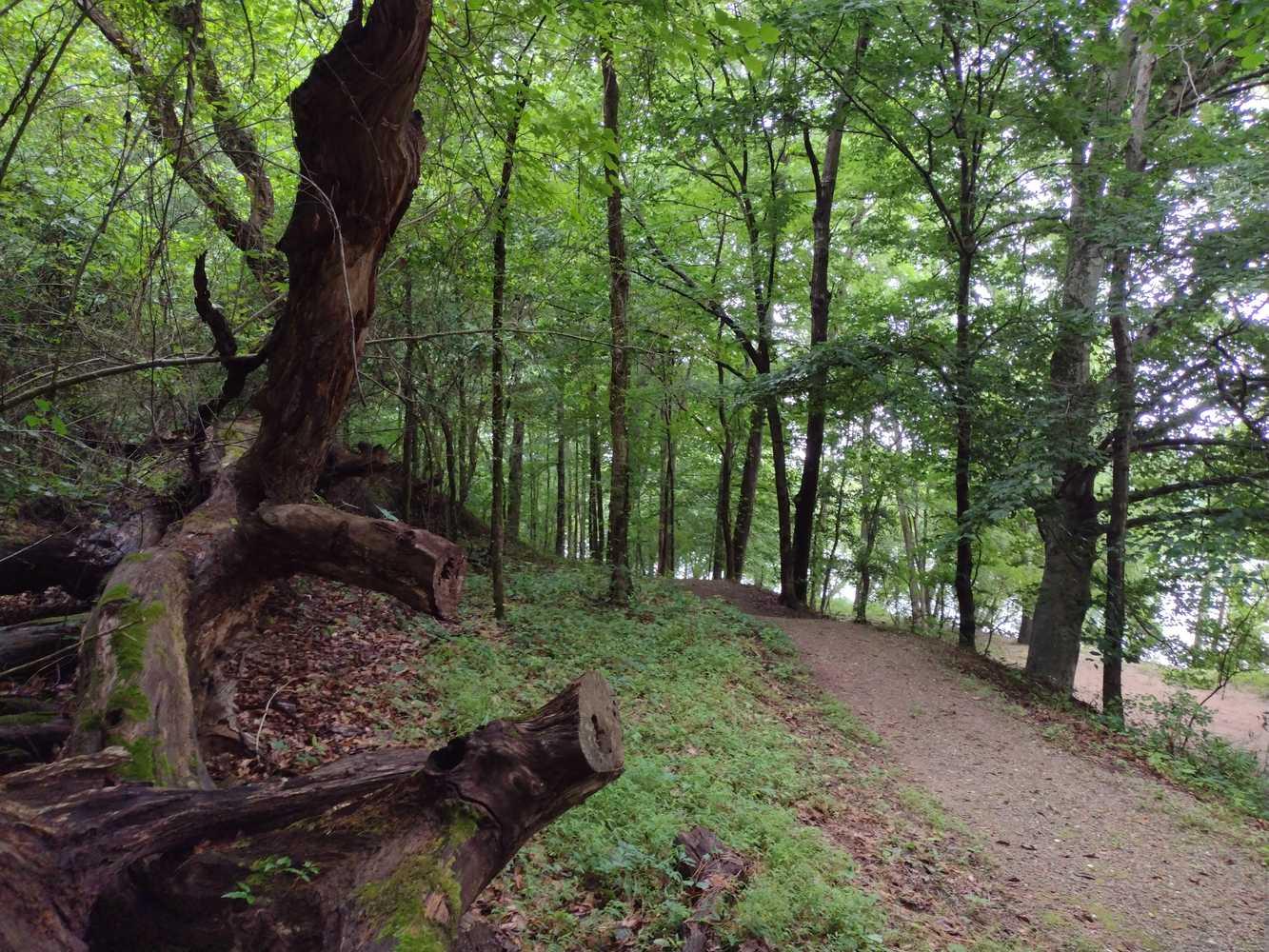
Hiking sections of the Overmountain Victory Trail is a favorite pastime.
Overmountain Victory National Historic Trail
National Historic Trail · NC, SC, TN, VA
Stretching 330-miles through four states (Virginia, Tennessee, North and South Carolina) the Overmountain Victory National Historic Trail traces the route used by Patriot militia during the pivotal Kings Mountain campaign of 1780. Follow their campaign by utilizing a Commemorative Motor Route along existing state highways marked with the distinctive trail logo, or 80+ miles of walkable trail.
Park report
Current Alerts
How this is rated
Good: no active alerts or closuresNo active alerts
Entrance Fee
How this is rated
Good: free entryFree — no entrance fee
Visitor Centers
Good6 visitor centers
Activities Available
How this is rated
Good: many activities available19 activities
Park Name
InfoOvermountain Victory National Historic Trail
Designation
InfoNational Historic Trail
State(s)
InfoNC, SC, TN, VA
Phone
Info8644612828
OVVI_Information@nps.gov
Operating Hours
InfoThe Overmountain Victory National Historic Trail can be visited in any season. It includes sections of walkable pathway, a Commemorative Motor Route, affiliated historic sites and museums, and wayside exhibits. Along the way it passes through four NPS areas, two National Forests, an Army Corps of Engineers Dam &Reservoir, plus several state and county parks.
Campgrounds
InfoNo campgrounds listed
Visitor Center: Keller Interpretive Center, Abingdon Muster Ground
InfoSee park for hours
Visitor Center: Sycamore Shoals State Historic Park Visitor Center
InfoSee park for hours
Visitor Center: Museum of North Carolina Minerals, Blue Ridge Parkway Visitor Center
InfoSee park for hours
Themes & Topics
InfoAmerican Revolution, Military, Battlefields + 5 more
Weather Info
InfoTemperatures for the area range from very hot and humid in the summer to cool and moderate in the winter.
Getting There
InfoThe trail travels over 330 miles through four states.
Location
Info35.1404° N, -81.3770° W
Data from official federal recreation records. Updated periodically. Park conditions change — always verify with the park before visiting. Verify on official park website