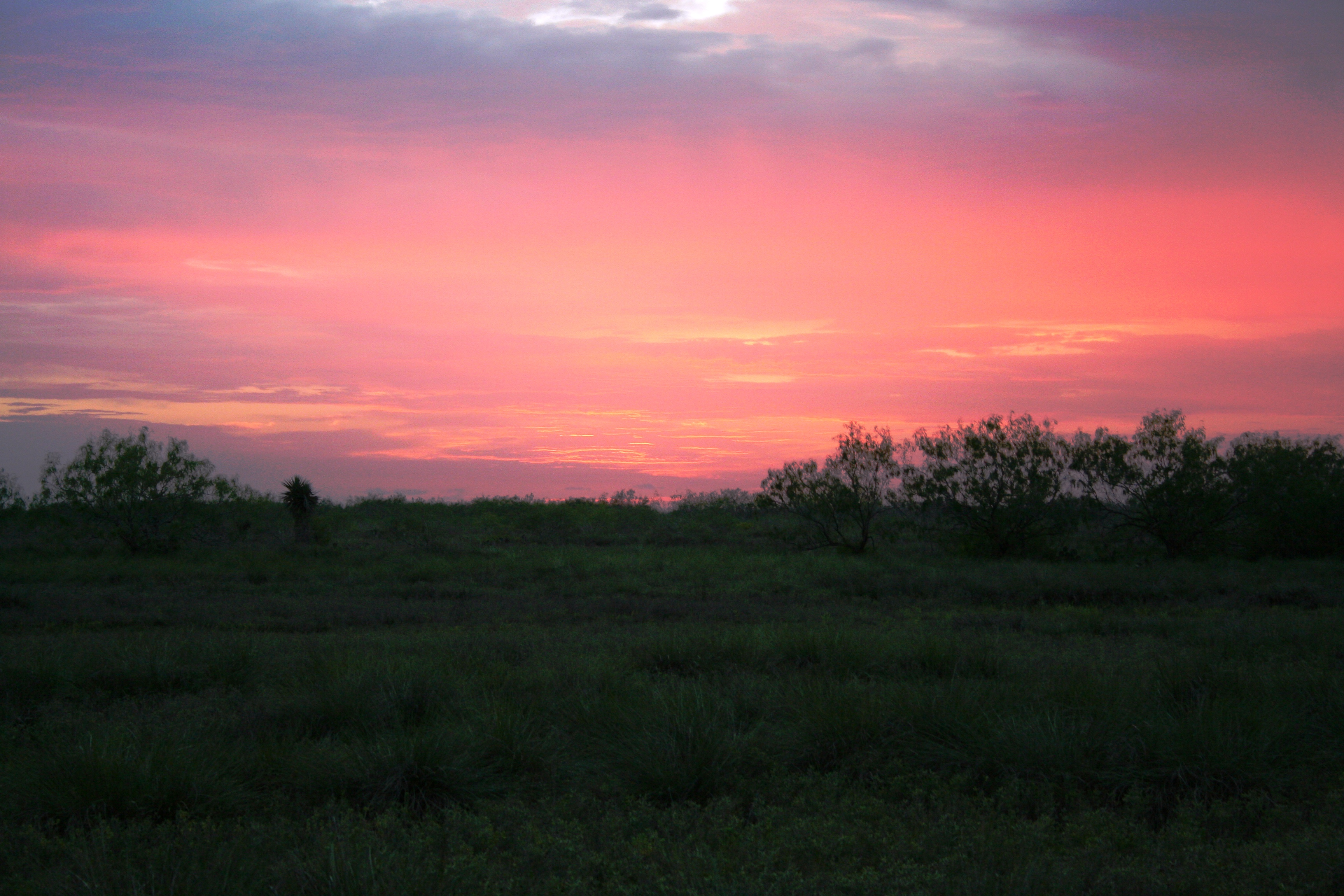
Early sunsets during winter are a sight to behold.
Palo Alto Battlefield National Historical Park
National Historical Park · TX
On May 8, 1846, U.S. and Mexican troops clashed on the prairie of Palo Alto. The battle was the first in a two-year long war that changed the map of North America. Although the two countries have developed strong bonds and friendly ties since the war ended in 1848, these neighbors continue to contend with the legacy of the war.
Park report
Hours Exceptions
NoteThanksgiving Day; Christmas Day; New Year's Day
Current Alerts
How this is rated
Good: no active alerts or closuresNo active alerts
Entrance Fee
How this is rated
Good: free entryFree — no entrance fee
Visitor Centers
Good1 visitor center
Activities Available
How this is rated
Good: many activities available18 activities
Park Name
InfoPalo Alto Battlefield National Historical Park
Designation
InfoNational Historical Park
State(s)
InfoTX
Phone
Info9565412785
paal_visitor_center@nps.gov
Operating Hours
InfoPark grounds are open daily from 8 am to 5 pm. Visitor center hours of operation differ from park hours of operation and are dependent upon staffing. The visitor center may be closed when the grounds are open. Park trails close to new traffic at 4:30 pm. All gates are locked at 5 pm. All vehicles must clear the park by 5 pm.
Campgrounds
InfoNo campgrounds listed
Visitor Center: Palo Alto Visitor Center
InfoSee park for hours
Themes & Topics
InfoArcheology, Colonization and Settlement, Forts + 34 more
Weather Info
InfoSummers are hot and humid. Tropical weather systems generally affect the area from August to October. Winters are usually mild but cold fronts can drop temperatures by up to 30 degrees in about an hou
Getting There
InfoThe park is located on Brownsville's north side, near the city of Los Fresnos. It is just north of the intersection of FM 1847 (Paredes Line Rd.) and FM 511/FM 550.
Location
Info26.0239° N, -97.4630° W
Data from official federal recreation records. Updated periodically. Park conditions change — always verify with the park before visiting. Verify on official park website