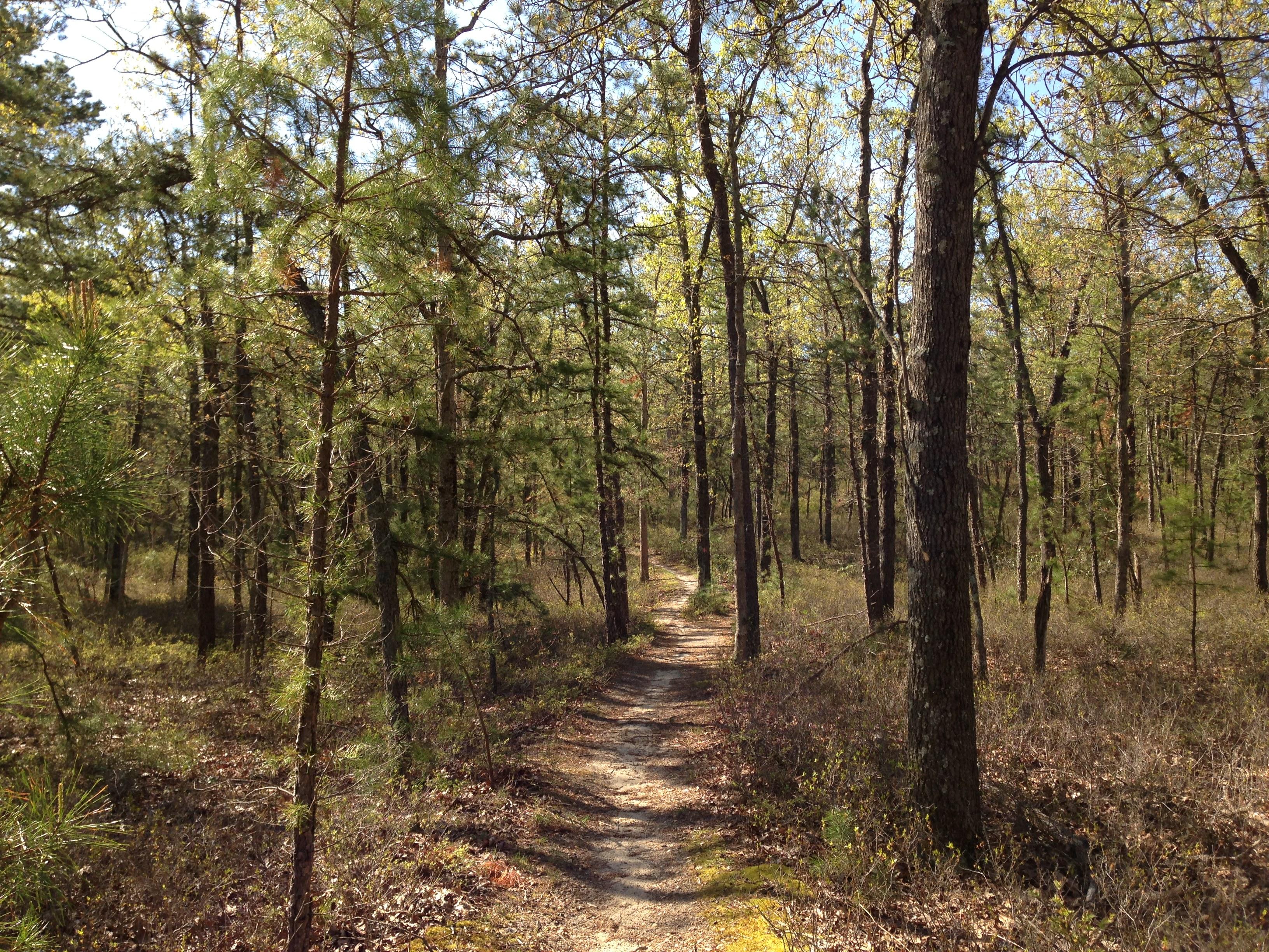
Batona Trail in the Brendan T. Byrne State Forest part of the NJ Pinelands
New Jersey Pinelands National Reserve
National Reserve · NJ
This is truly a special place. It's classified as a United States Biosphere Reserve and in 1978 was established by Congress as the country’s first National Reserve. It includes portions of seven southern New Jersey counties, and encompasses over one-million acres of farms, forests and wetlands. It contains 56 communities, from hamlets to suburbs, with over 700,000 permanent residents.
Park report
Current Alerts
How this is rated
Good: no active alerts or closuresNo active alerts
Entrance Fee
How this is rated
Good: free entryFree — no entrance fee
Activities Available
How this is rated
Good: many activities available1 activities
Park Name
InfoNew Jersey Pinelands National Reserve
Designation
InfoNational Reserve
State(s)
InfoNJ
Phone
Info(609) 894-7300
ner_external_affairs@nps.gov
Operating Hours
InfoThe Pinelands National Reserve stretches across portions of seven counties in southern New Jersey, covering about 22% of the state. The area is comprised of both public and private lands. Public lands include parks, forests, wildlife refuges, and military bases. Private lands include 56 communities that range in size from small from villages to large towns. More than 700,000 permanent residents live the Pinelands National Reserve. The public lands are open 24 hours.
Campgrounds
InfoNo campgrounds listed
Themes & Topics
InfoForests and Woodlands
Weather Info
InfoSpring: 50-70F, sunny with some rain Summer: 70-90F, mostly sunny with some rain Winter: 0-35F, snow is common Fall: 50-70F
Getting There
InfoThe Pinelands National Reserve includes portions of seven southern New Jersey counties, and encompasses over one-million acres of farms, forests and wetlands. It contains 56 communities, from hamlets
Location
Info39.9384° N, -74.6250° W
Data from official federal recreation records. Updated periodically. Park conditions change — always verify with the park before visiting. Verify on official park website