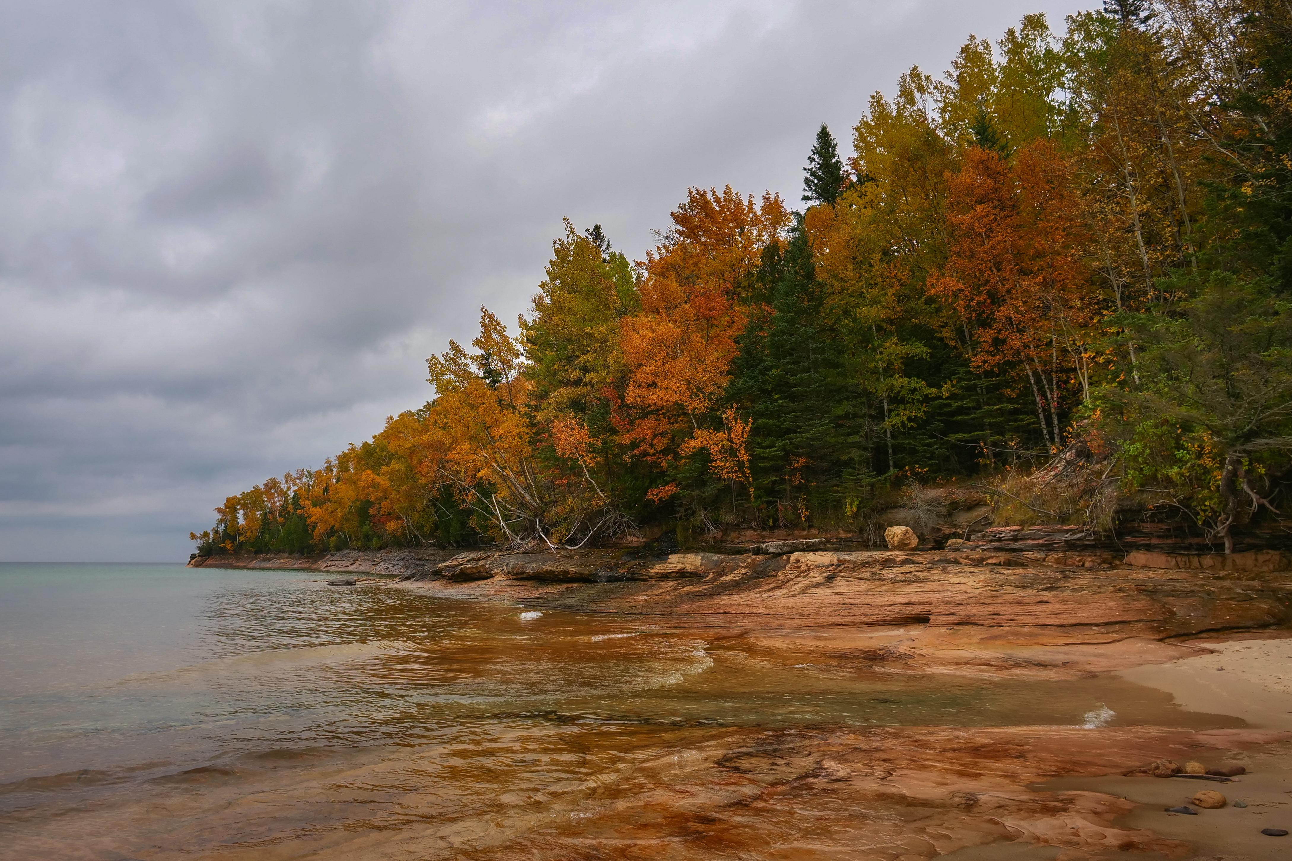
Miners Beach and Elliot Falls on an autumn day
Pictured Rocks National Lakeshore
National Lakeshore · MI
Sandstone cliffs, beaches, waterfalls, sand dunes, inland lakes, deep forest, and wild shoreline beckon you to visit Pictured Rocks National Lakeshore. The power of Lake Superior shapes the park's coastal features and affects every ecosystem, creating a unique landscape to explore. Hiking, camping, sightseeing, and four-season outdoor opportunities abound.
Park report
Alert: Park Closure
How this is rated
Poor: closures/hazards · Fair: cautions/noticesMunising Falls Trail Closed Until Further Notice
Fee: Entrance - Private Vehicle
How this is rated
Good: free · Fair: ≤$20 · Low: >$20$25
Fee: Entrance - Motorcycle
How this is rated
Good: free · Fair: ≤$20 · Low: >$20$20
Fee: Entrance - Snowmobile
How this is rated
Good: free · Fair: ≤$20 · Low: >$20$15
Campgrounds Available
How this is rated
Good: campgrounds available in this park25 campgrounds
Visitor Centers
Good3 visitor centers
Activities Available
How this is rated
Good: many activities available51 activities
Park Name
InfoPictured Rocks National Lakeshore
Designation
InfoNational Lakeshore
State(s)
InfoMI
Phone
Info906-387-3700
piro_information@nps.gov
Pass: Annual Entrance - Park
Info$45
Operating Hours
InfoPictured Rocks National Lakeshore is open year-round, 24 hours a day, though most roads are closed by snow in the winter. Sand Point Road is the only park road plowed in winter.
Visitor Center: Munising Falls Visitor Center
InfoSee park for hours
Visitor Center: Grand Sable Visitor Center
InfoSee park for hours
Visitor Center: Miners Castle Visitor Contact Station
InfoSee park for hours
Themes & Topics
InfoIndustry, Logging and Timber Cutting, Maritime + 35 more
Weather Info
InfoSummers are pleasant with the average highs in June, July, and August in the 70s°F, and lows in the low 50s°F. The coldest months are December through March with average highs of 25°F to 32°F, and ave
Getting There
InfoPictured Rocks NL is located on the south shore of Lake Superior in Michigan's Upper Peninsula, between the towns of Munising (west) and Grand Marais (east). Access the west side of the park via Michi
Location
Info46.5644° N, -86.3163° W
Data from official federal recreation records. Updated periodically. Park conditions change — always verify with the park before visiting. Verify on official park website