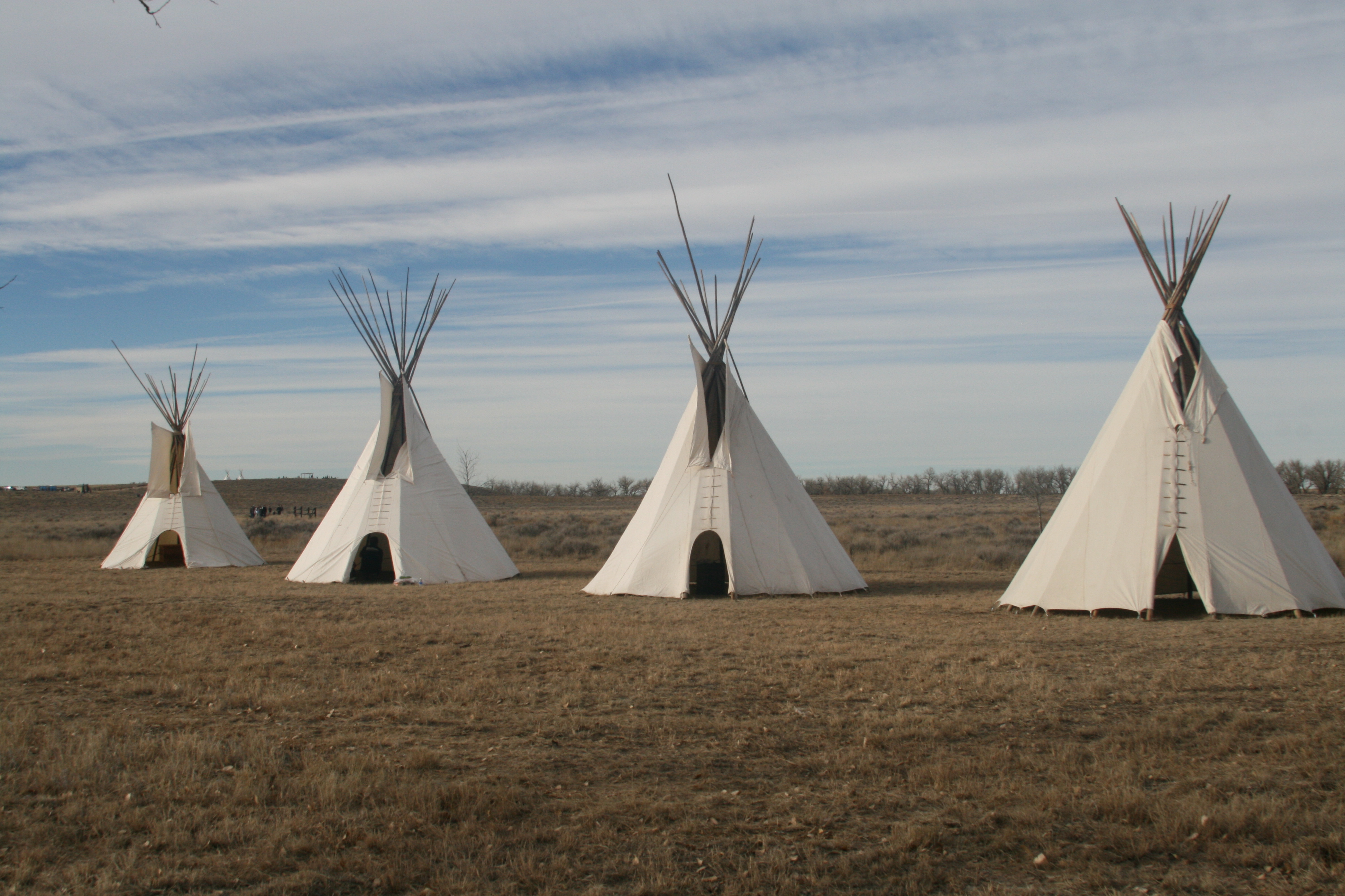
Cheyenne and Arapaho Lodges erected in commemoration of the 150th Year of the Sand Creek Massacre
Sand Creek Massacre National Historic Site
National Historic Site · CO
On November 29th, 1864, Chiefs Black Kettle, White Antelope, Left Hand and others were encamped with around 750 Arapaho and Cheyenne people in a valley by the Big Sandy Creek. A hope for peace, brought forth by Black Kettle was in the balance. It was a tragic day where the blood of the Cheyenne and Arapaho was shed, and a painful memory for generations of Native Americans was made.
Park report
Alert: Information
How this is rated
Poor: closures/hazards · Fair: cautions/noticesVisitor Services Available Only at the Site
Alert: Caution
How this is rated
Poor: closures/hazards · Fair: cautions/notices8 Miles of Unpaved Road to Reach Park
Hours Exceptions
NoteWinter off season period; Closed Veterans Day; Fall off season period; Closed Thanksgiving Day; Closed Christmas Day; Closed New Year's Day; Closed MLK; Closed Washington's Birthday; Closed Juneteenth
Entrance Fee
How this is rated
Good: free entryFree — no entrance fee
Activities Available
How this is rated
Good: many activities available6 activities
Park Name
InfoSand Creek Massacre National Historic Site
Designation
InfoNational Historic Site
State(s)
InfoCO
Phone
Info7194385916
sand_information@nps.gov
Operating Hours
InfoThe park is located 23 miles outside of the town of Eads, Colorado and is open five days a week. Please view the directions tab for more information.
Campgrounds
InfoNo campgrounds listed
Themes & Topics
InfoMilitary, US Army, Indigenous and Native Warrior + 11 more
Weather Info
InfoWeather conditions at the park vary considerably. Temperatures range from over 100°F in summer to under 20°F in winter. Visitors can expect blowing dust and sand year-round, especially during infreque
Getting There
InfoThe Sand Creek Massacre is located in Kiowa County, Colorado. To visit the site, follow Colorado State Highway 96 east off Highway 287 near Eads, or west off Highway 385 at Sheridan Lake. Near Chiving
Location
Info38.5641° N, -102.5170° W
Data from official federal recreation records. Updated periodically. Park conditions change — always verify with the park before visiting. Verify on official park website