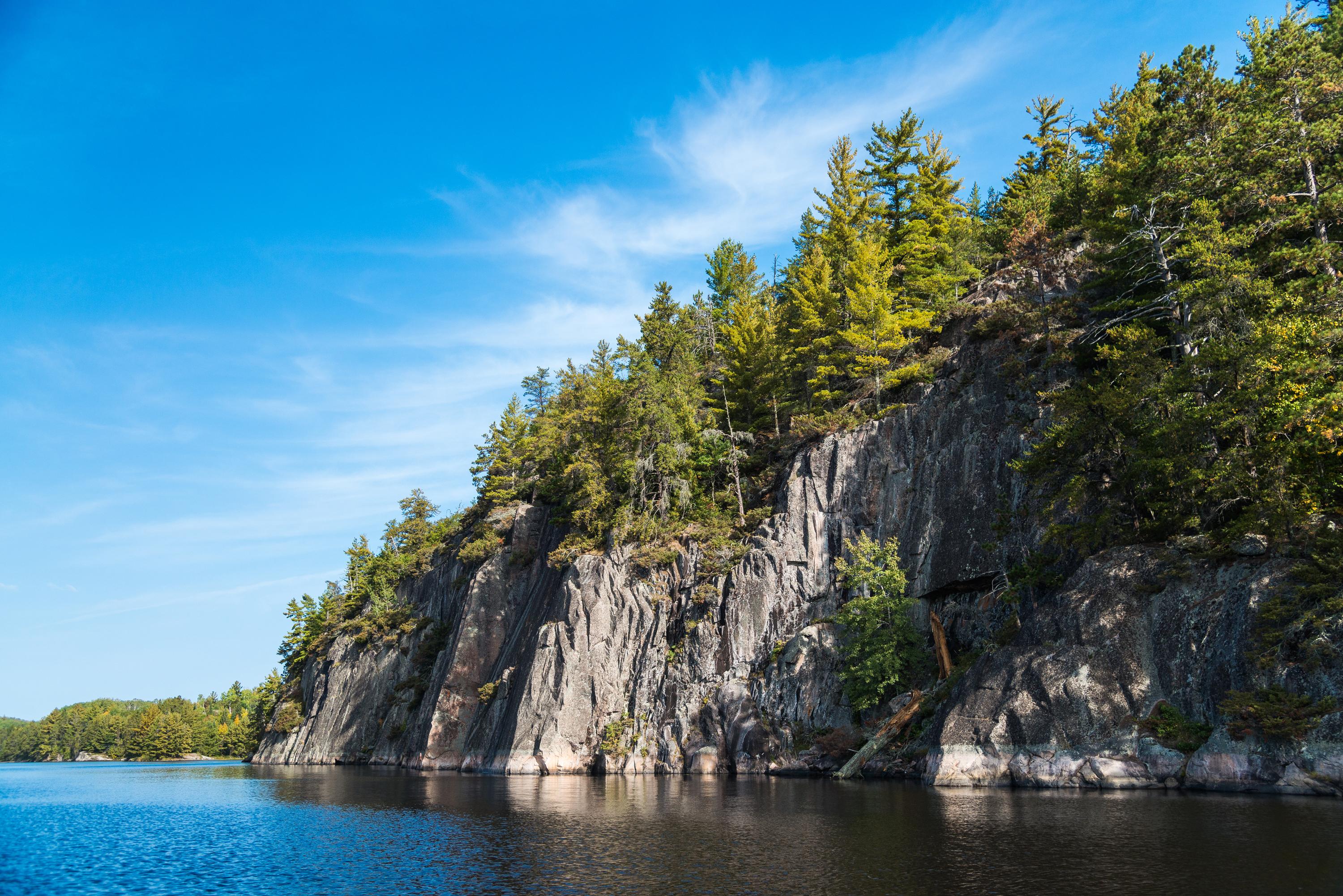
Ancient granite rising above the waters of Grassy Bay.
Voyageurs National Park
National Park · MN
Voyageurs National Park spans 218,000 acres of lakes, forests, and streams in northern Minnesota. Established in 1975, the park is named after the French-Canadian Voyageurs who once navigated these abundant waters. Voyageurs National Park provides exceptional opportunities for recreation and exploration amidst landscapes rich in natural beauty, history, and cultural heritage.
Park report
Alert: Park Closure
How this is rated
Poor: closures/hazards · Fair: cautions/noticesPartial Trail Closure: Echo Bay (Nov. 6 - 22)
Entrance Fee
How this is rated
Good: free entryFree — no entrance fee
Visitor Centers
Good4 visitor centers
Activities Available
How this is rated
Good: many activities available48 activities
Park Name
InfoVoyageurs National Park
Designation
InfoNational Park
State(s)
InfoMN
Phone
Info(218)-283-6600
VOYA_info@nps.gov
Operating Hours
InfoVoyageurs is open 24-hours a day year-round, although activities and services are limited after visitor center hours. Please note that early spring and late fall may present hazards on the lake with thin ice; use caution.
Campgrounds
InfoNo campgrounds listed
Visitor Center: Rainy Lake Visitor Center
InfoSee park for hours
Visitor Center: Kabetogama Lake Visitor Center
InfoSee park for hours
Visitor Center: Ash River Visitor Center
InfoSee park for hours
Themes & Topics
InfoAviation, Dams, Industry + 34 more
Weather Info
InfoThere are four distinct seasons in Voyageur country. During June, July, and August periods of fine, mild weather prevail. The frost-free season averages 120 days from June to mid-September. The averag
Getting There
InfoVoyageurs National Park is located in Northern Minnesota near the Canadian border. Access to Voyageurs is available from many points along Rainy Lake, Kabetogama Lake, Ash River, Crane Lake, and Orr/P
Location
Info48.4837° N, -92.8383° W
Data from official federal recreation records. Updated periodically. Park conditions change — always verify with the park before visiting. Verify on official park website