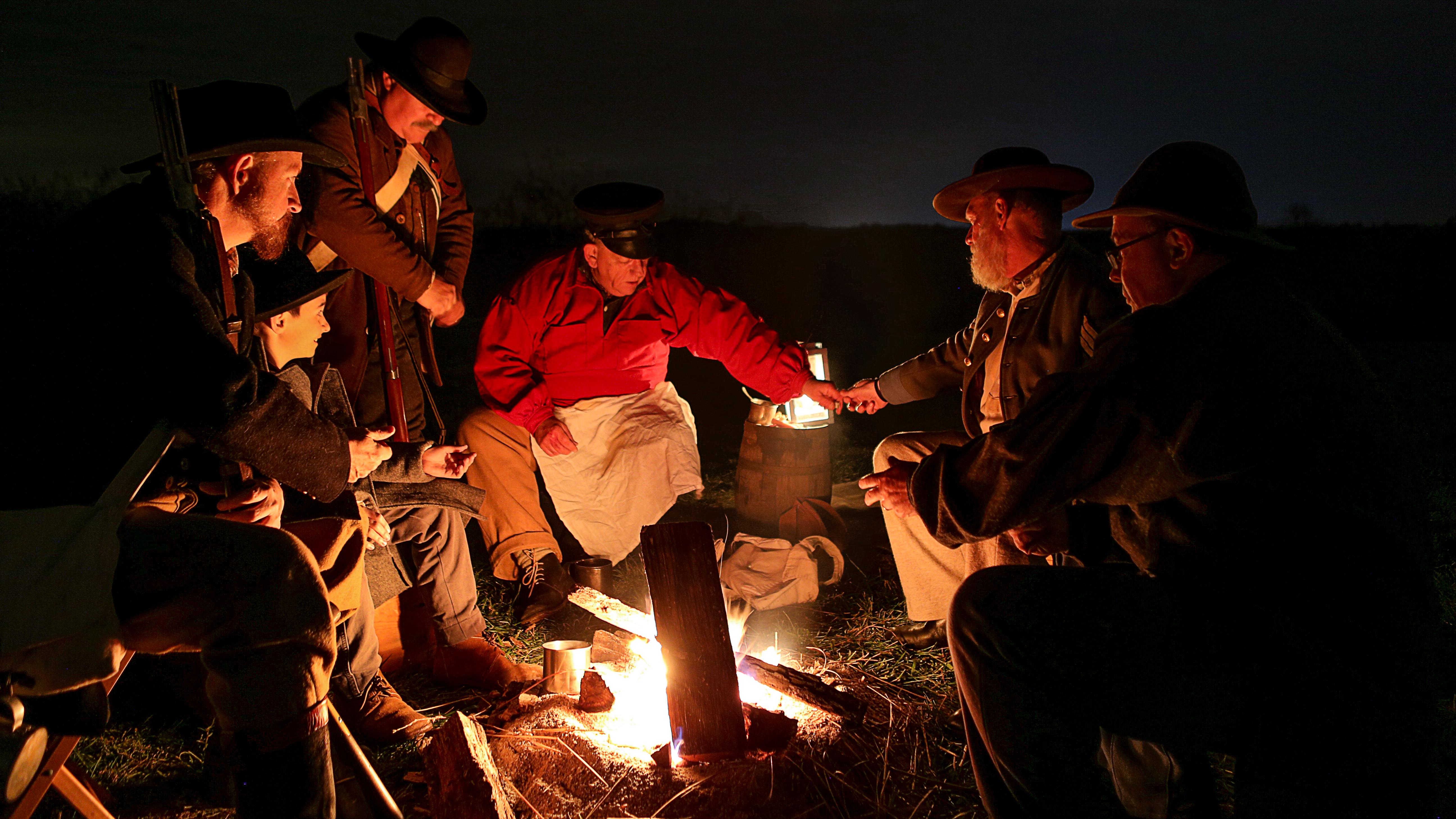
Living history volunteers act out a scene during the annual Moonlight Tours event
Wilson's Creek National Battlefield
National Battlefield · MO
Wilson's Creek was the first major Civil War battle fought west of the Mississippi River, and where the first Union general was killed in action. The costly Southern victory on August 10, 1861, focused national attention on the war in Missouri. Wilson’s Creek National Battlefield commemorates and interprets the battle within the context of the war in the Trans-Mississippi West.
Park report
Alert: Information
How this is rated
Poor: closures/hazards · Fair: cautions/noticesAmerica the Beautiful Pass not Issued at Wilson's Creek
Alert: Information
How this is rated
Poor: closures/hazards · Fair: cautions/noticesNavigation Warning
Entrance Fee
How this is rated
Good: free entryFree — no entrance fee
Visitor Centers
Good1 visitor center
Activities Available
How this is rated
Good: many activities available27 activities
Park Name
InfoWilson's Creek National Battlefield
Designation
InfoNational Battlefield
State(s)
InfoMO
Phone
Info417-732-2662
WICR_visitor_requests@nps.gov
Operating Hours
InfoThe park grounds are open from 1/2 hour before sunrise until 1/2 hour after sunset. This includes non-motorized and pedestrian access to the tour road. Motorized access to the tour road begins at 8:00 am daily when the automated entrance gate will open. The visitor center and museum hours are 9:00 am to 5:00 pm daily, seven days a week.
Campgrounds
InfoNo campgrounds listed
Visitor Center: Wilson's Creek Visitor Center & Museum
InfoSee park for hours
Themes & Topics
InfoAfrican American Heritage, Arts, Painting + 28 more
Weather Info
InfoSummer months are frequently hot and humid, with occasional showers and thunderstorms. Winter months (especially January and February) are frequently cold, with occasional ice and light snow. Spring a
Getting There
InfoFrom I-44: exit at Exit 70 (Missouri Highway MM). Continue south to U.S. Highway 60. Proceed through the intersection. Continue 1/2 mile to Missouri Highway ZZ. Turn right on ZZ. Continue south to Far
Location
Info37.1000° N, -93.4099° W
Data from official federal recreation records. Updated periodically. Park conditions change — always verify with the park before visiting. Verify on official park website